
Wetland Delineation
Wetlands are often regulated by the United States Army Corps of Engineers (USACE), as well as local and state regulatory agencies, such as the California Department of Water Resources. The process of defining the boundary of a wetland is important for project design and planning, to either demonstrate that no wetlands will be impacted, or to facilitate the process of acquiring permits.
The Wetland delineation process is defined by the USACE Wetland Delineation Field Manual (1987). Wetlands are defined as “areas inundated or saturated by surface or groundwater enough to support a prevalence of vegetation adapted for saturated soil”. The manual outlines the wetland indicators that need to be found need to be found in soil, hydrology, and vegetation to demonstrate the existence of a wetland.
Soil: When soils are saturated over a period of time they are depleted of oxygen. In these conditions, specially adapted bacteria utilize iron instead of oxygen to undergo their metabolic processes. Over decades, this process of reducing iron in the soil leads to visual markers that a wetland scientist can read to determine the extent of saturation in the soil, and thus determine if the area meets this qualification as a wetland.
Hydrology: Wetland scientists look for clues in the landscape to determine if saturation or ponding has occurred recently, or regularly in the past. One of the most useful tools we use are satellite images, that can show if water has been present on the surface of our suspected wetland over many years. Also, we look for clues such as cracked soil, biological crusts, and water stains to clue us in on the site’s hydrological happenings.
Vegetation: Most plants can not survive in soils that regularly undergo saturated soil conditions. These soils require plants specifically adapted to these harsh conditions. Wetland scientists identify all the plants growing in a suspected wetland, and compare to nearby upland plots. A simple math equation based on the ratio of wetland indicator plants, and upland indicator plants, gives our third indicator on whether the area meets the criteria for a wetland.
You need all three! In most circumstances all three criteria must be met to prove the existence, and define the boundary of a wetland.
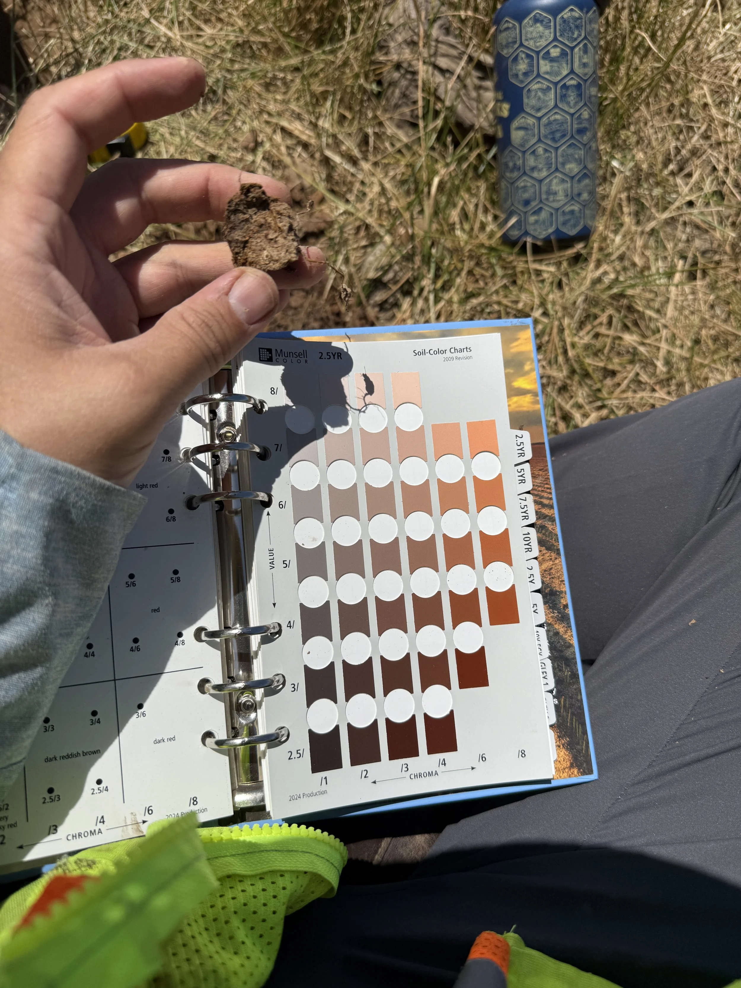
Munsell Soil Color Chart aiding wetland delineation soil analysis
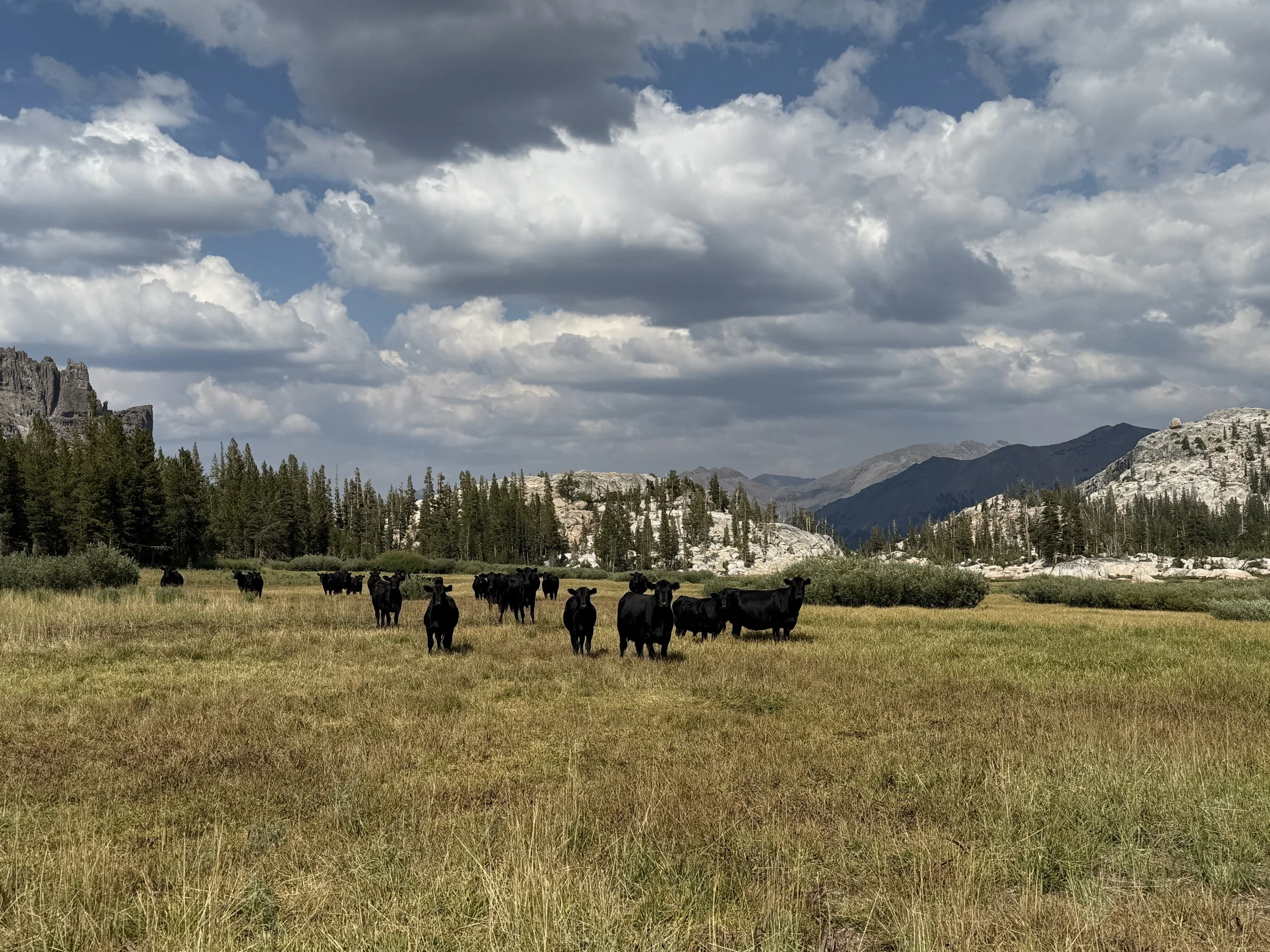
A wetland in the Sierra Nevada being utilized by cattle.
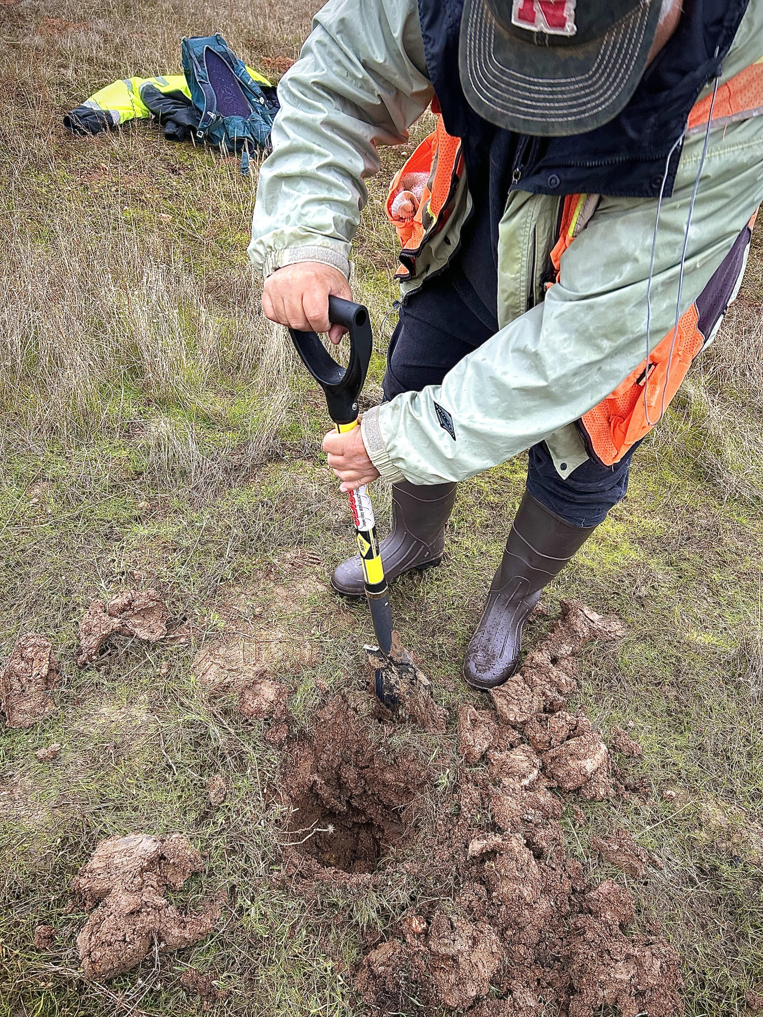
Wetland scientist Phil Scoles digs a soil pit before determining hydric soil indicators in a vernal pool in Sacramento County.
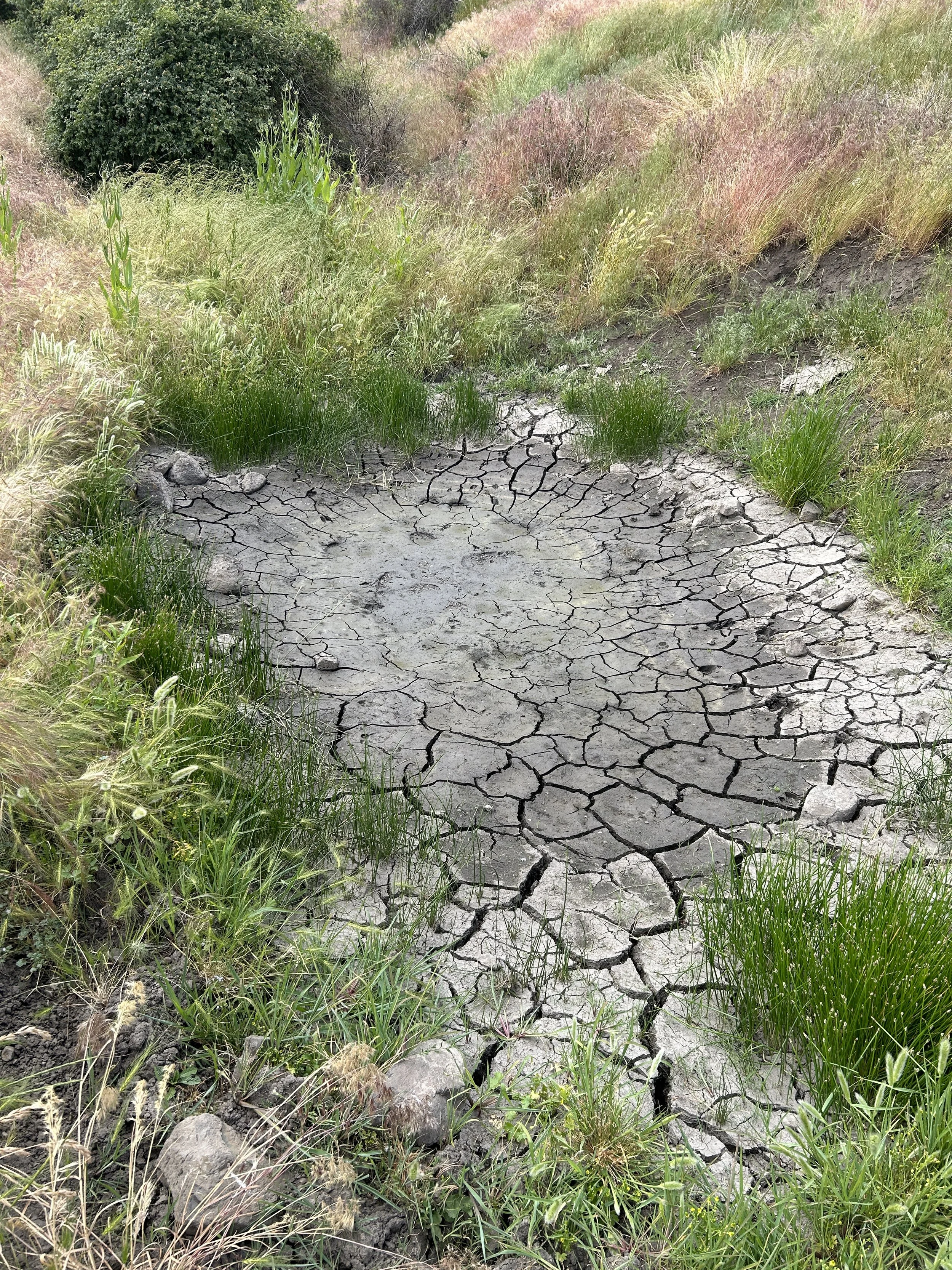
Soil cracks demonstrate that ponding occurred recently in this area, the existence of soil cracks is a wetland hydrology indicator.